The flood appeared to be of similar magnitude or slightly smaller to that of 2016 judging by the extents of the flood waters. So, fifth in size out of the five recent flood events in Brailes. Therefore, a fairly modest event. The B4035 was impassable to most cars. Four or five houses suffered flooding and it appears that one or more new, incomplete houses on a development just south of the B4035 and opposite Castle Hill Lane, were also flooded above their finished floor level.
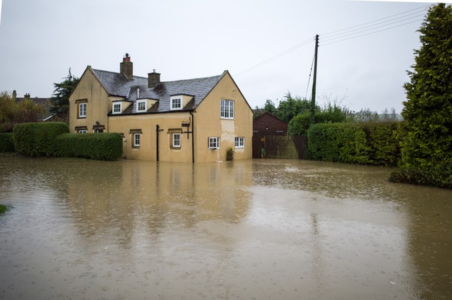
The Coach House, B4035, Lower Brailes 14th Nov 2019

Sutton Brook and the Bridge to Orchard Close, Lower Brailes 14th Nov 2019.

Jeff’s Close, Lower Brailes 14th Nov 2019

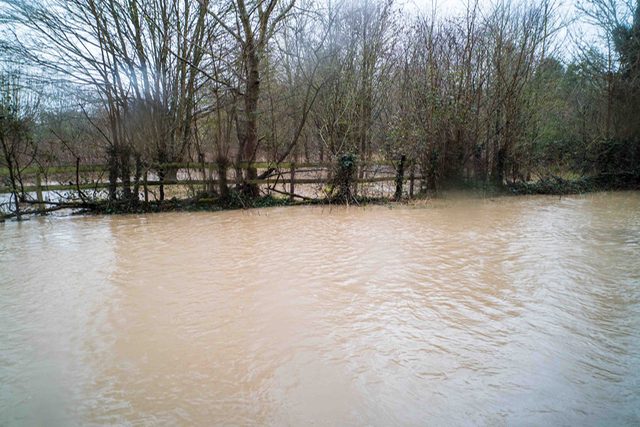
Sutton Brook, Lower Brailes 14th Nov 2019

Prestwold Brailes flood at new Housing development by Spitfire Properties, B4035, Brailes, 14th Nov 2019

Prestwold Brailes flood Nov 2019 at new Housing development by Spitfire Properties, B4035, Brailes, 14th Nov 2019

Prestwold Brailes flood Nov 2019. New Housing development by Spitfire Properties, B4035 junction with Henbrook Lane, Brailes, 14th Nov 2019
Previous flood of March 2016 at the undeveloped Prestwold Brailes site on B4035 east of junction with Henbrook Lane, Brailes
Previous flood of March 2016 at the undeveloped Prestwold Brailes site on B4035 east of junction with Henbrook Lane, Brailes
Previous flood of March 2016 at the undeveloped Prestwold Brailes site on B4035 at junction with Henbrook Lane, Brailes

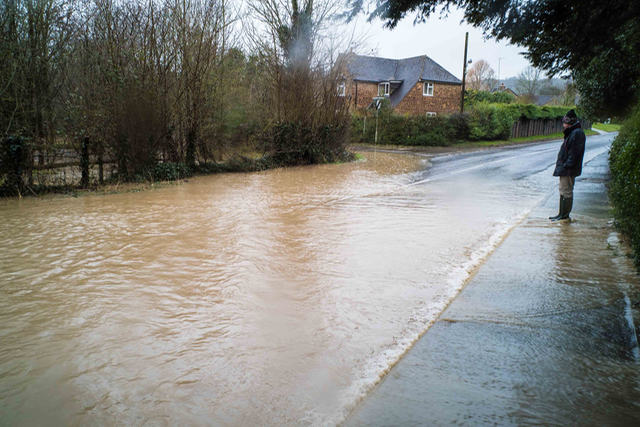
B4035 at junction of Henbrook Lane, Lower Brailes, 14th Nov 2019

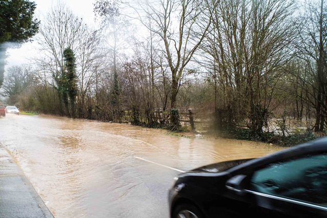
B4035, Lower Brailes, 14th Nov 2019

B4035, Lower Brailes, 14th Nov 2019

Hen Brook behind Godson Cottages, breaching its banks and spilling to B4035, Lower Brailes, 14th Nov 2019

B4035 Lower Brailes opposite Jeff’s Close, 14th Nov 2019

Sutton Brook at bridge to Orchard Close, Lower Brailes, 14th Nov 2019

B4035, Lower Brailes, 14th Nov 2019

Bridge over B4035 at Lower Brailes, south side, 14th Nov 2019

Bridge over B4035 at Lower Brailes, north side, 14th Nov 2019

B4035 Lower Brailes, 14th Nov 2019
